そろそろ、北アルプス行きたいな~♪♪♪
なんて、妄想しましたが、
SCWで8/6の予報を見る限り、
お昼ごろから雨雲がかかるようなので、
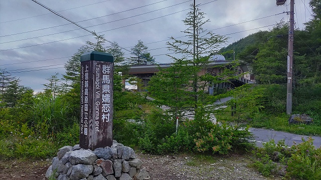
東信の『浅間山』を目指しました♪♪♪
ネットで見る限り、
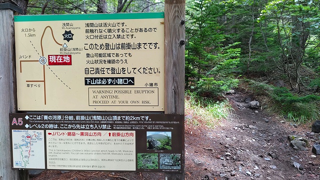
浅間山は、噴火警戒レベルが1の今しかない!!
みたいなことが書いてあったので、
ちょっとやる気も出ました。
浅間山の標高も2500m程度、
出発地点の高峰高原も標高1950m程度
ということで、たいしたこと無いだろう・・・。と思ったのが大間違いの1日でした。
今回は長編です。
・・・
朝7時に家を出発!!
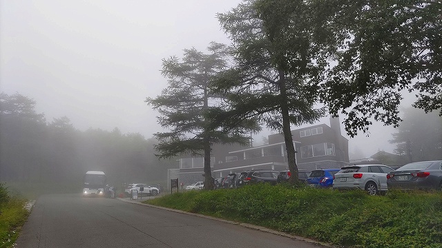
9時ちょっと前に、高峰高原に到着しますが、
当然の如く、駐車場は満車。
ちょっと下の「アサマ2000」スキー場の駐車場にクルマを止めます。

スキー場の駐車場を出発
ハイカーたちは、大型バスで来る人達も多数。
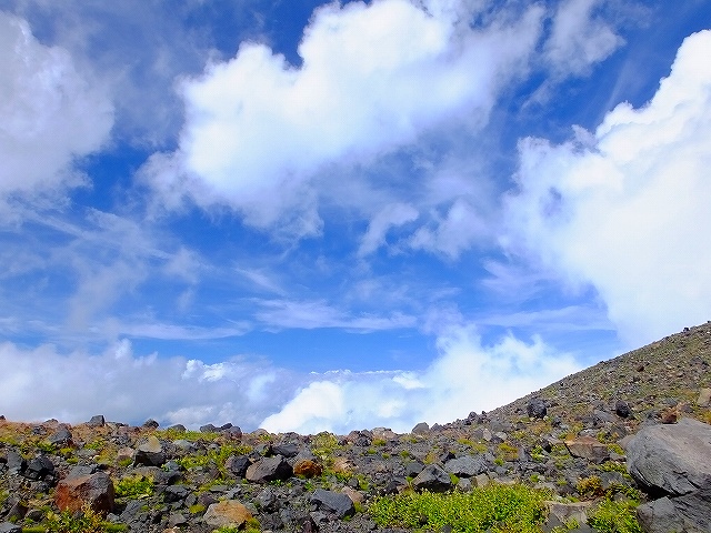
9時9分
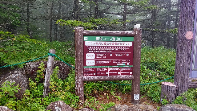
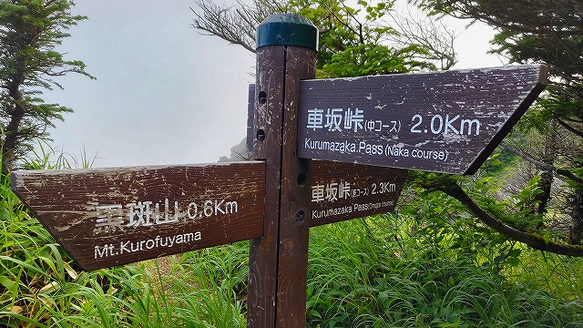
登山口の表示
表コースと中コースがあります
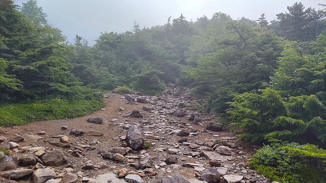
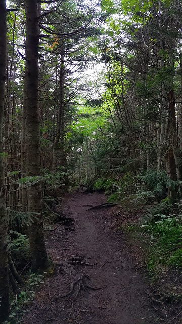
トレイルはこんな感じ
しばらくすると
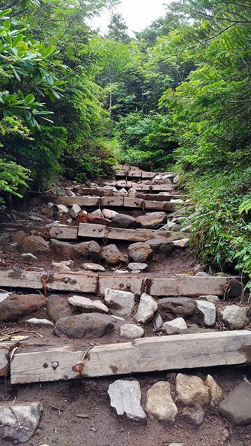
トレイルは階段混じり

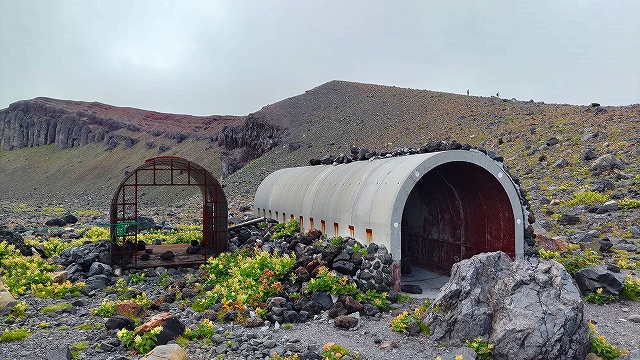
流石火山、
シェルターです。

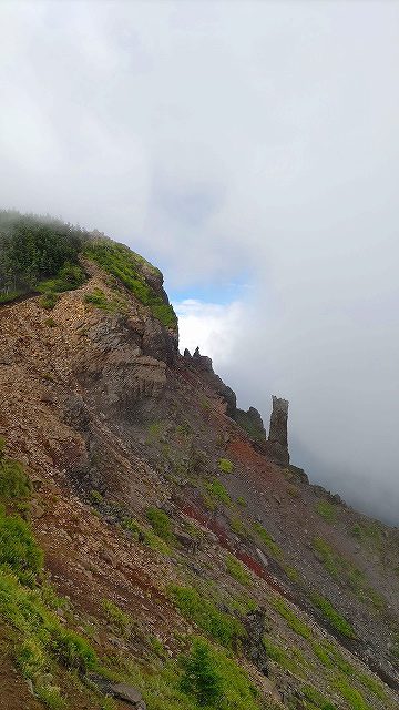
最初のランドマーク
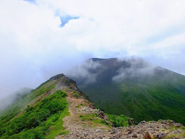
槍が鞘
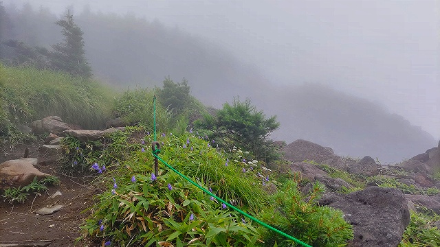
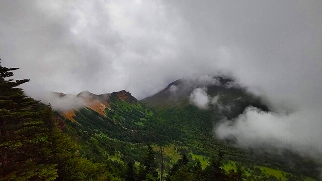
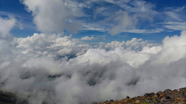
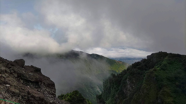
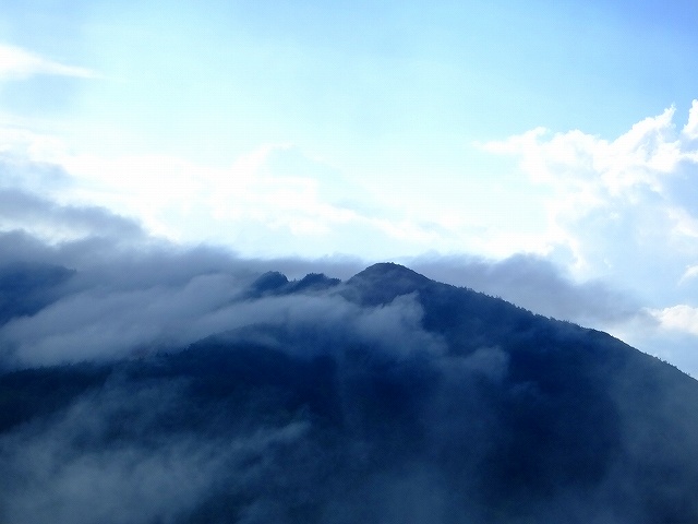
前日が雨だったのでガスで視界は殆どないです。

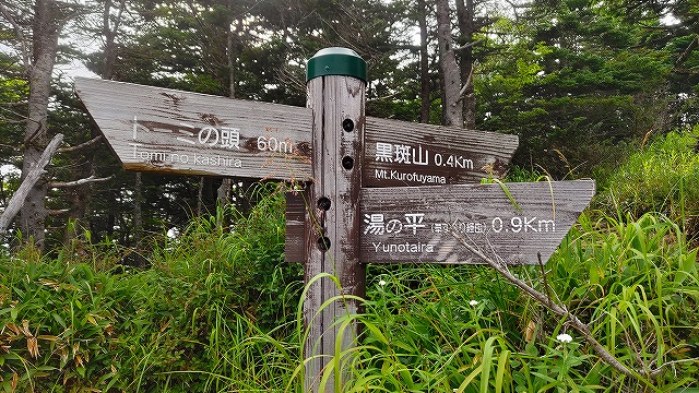
次のランドマーク
トーミの頭
もしかして、
トーミって、東御市の東御から来てるん?
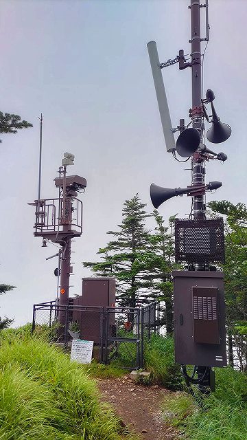
ライブカメラの場所
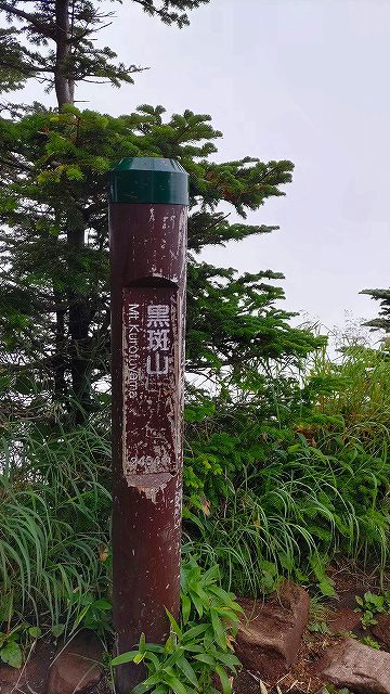
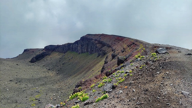
ランドマーク
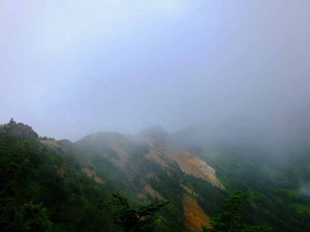
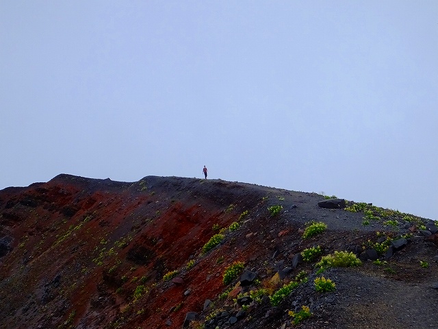
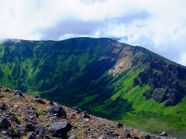
黒斑山 2404m
高峰高原から黒斑山トレッキングは、3時間コースなので、
登り始めから、1時間36分で、黒斑山は良いペースかと思いました。


しびれるぅ~

蛇骨岳 2366m
11時07分
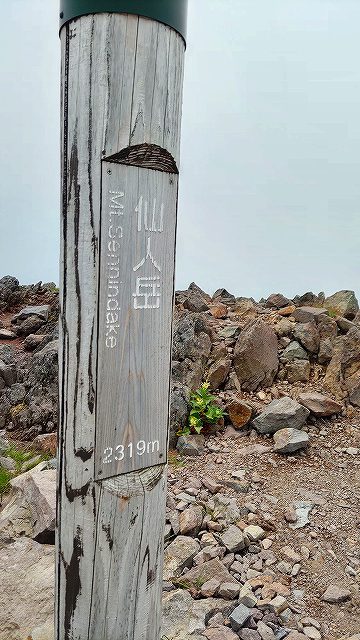
仙人岳 2319m
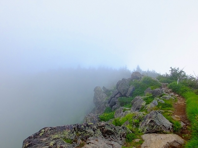
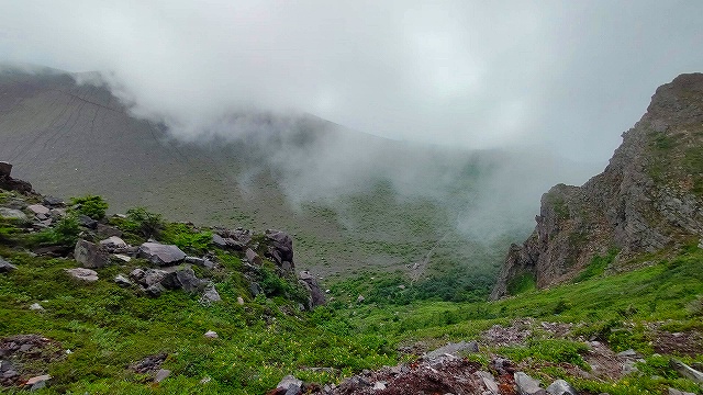
たまに視界が良くなったりして
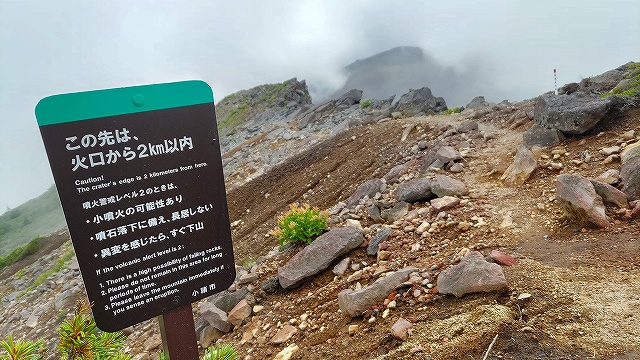
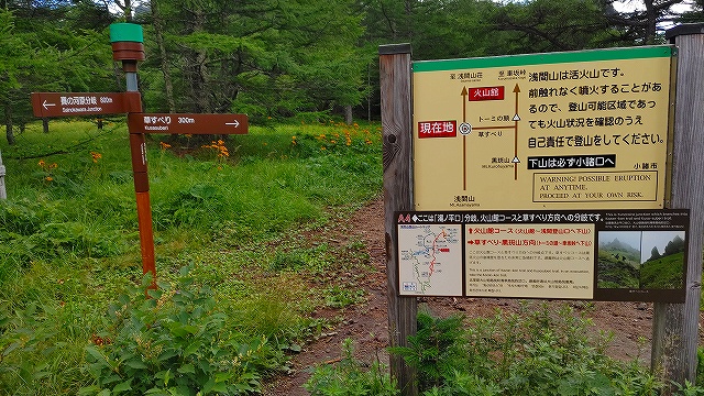
噴火警戒レベル2 だと
ここまでみたい

一瞬、霧が晴れる
11時42分

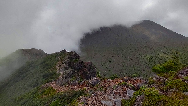
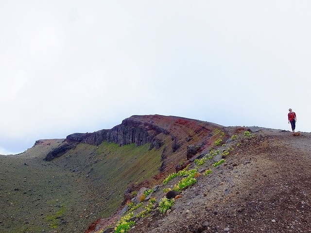
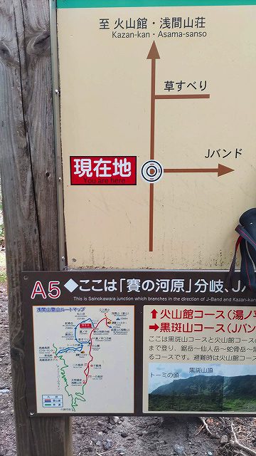
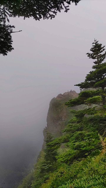
縦走はここまで・・・
Jバンド へ降ります
12時22分
浅間山荘から来る登山道と合流
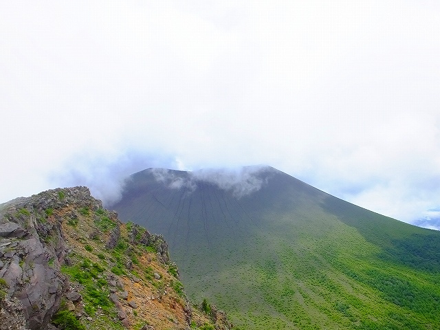
前掛山への入り口です

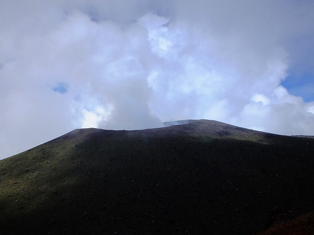
噴火口レベルに到達
既に午後1時なので、
折り返さないとマズいな!!とは思っていましたが、
残りは、たいして登りが無い筈なので、14時を再遅リターンと決めて、
山頂目指します。
噴石は免れても、火山ガスは逃れられないのでは?
ラストスパート
って、まだ結構な距離
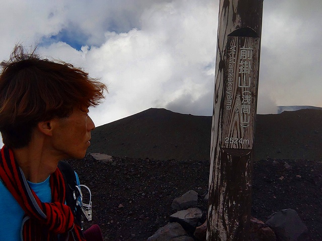
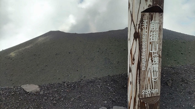
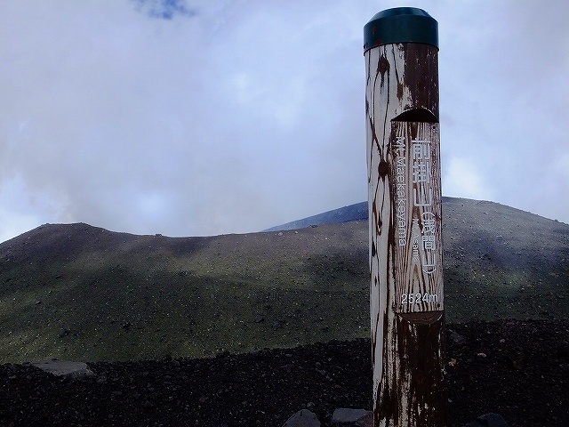
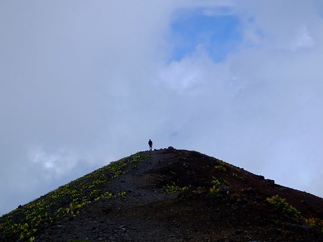
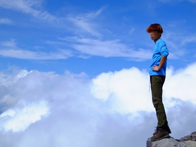
前掛山 登頂
標高2524m
とかなんとか、20分ぐらいの休憩後、下山開始
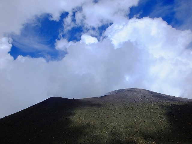
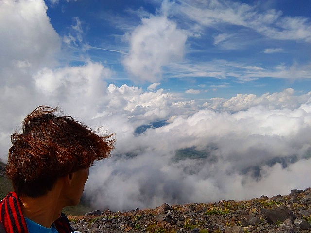
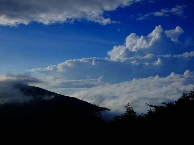
部分青空
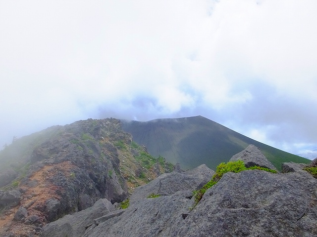
振り返りざま
名残惜しい火口のトレイル
時間は14時過ぎ
ここでなんと青空が拡がりだしましたよ。
三脚使用

振り返り激写
山頂は見えなくなる
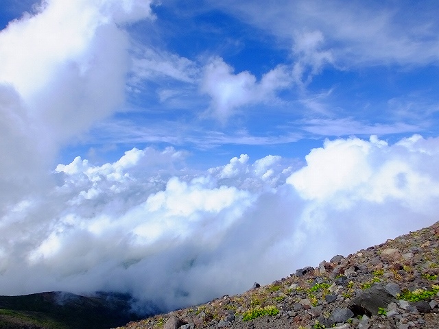
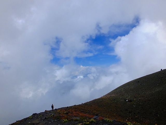
雲海ともサヨナラ

下山が進んで、
下界がちょい見え
来た道の分岐
帰りはJバンドに行きません
草すべりに向かいます
草すべり と
浅間山荘 の分岐


これからこれ登ります。
トーミの頭です。
1時間かけて登りました 300mぐらいあったかな?
見える
16時09分
トーミの頭で休憩中
事件が・・・・。
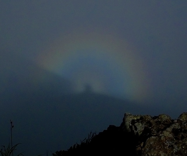
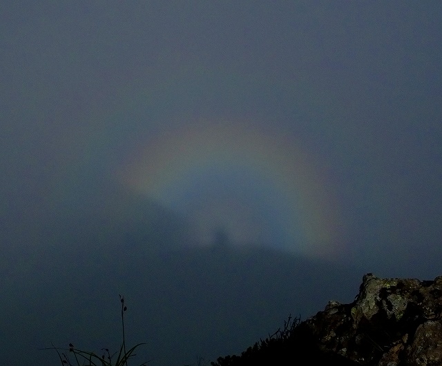
16時30分まで粘りましたが、
上の2つの写真が一番ええかんじでした。
18時目標で、下山開始♪♪♪
(来る時は、ここまで1時間ちょっとでした。)
相変わらずの霧
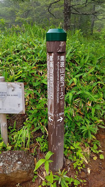
表コースと中コース 分岐
もち、表コースを選択
16時45分
樹林帯は結構暗くなり怖い
視界が拡がった瞬間
篭の塔山方面
シャアがでそう

シャアは諦めて下山継続

樹林帯でなくても暗くなり始め
高峰高原 登山口

あさま2000駐車場着
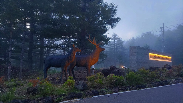
カモシカのライトアップ
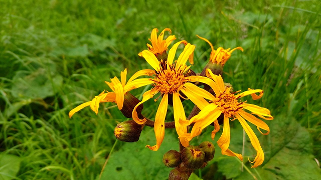
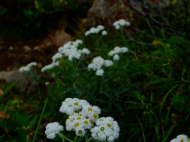
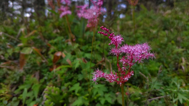
今回撮った花、3つあげておきます。
9時間20分のトレッキングはくたびれました。
標準タイムは7時間30分みたいですが・・・。
歩いた距離は14㎞ぐらいだと思う。
1時間2kmぐらいはイケる筈だから、
9時間越えは、ヤバいです。
こんなんじゃ、富士山絶対無理・・・・。
また、一から頑張ることにします。